Low bridges and HGV route planning: what sat-nav misses and where the operator obligation sits
My driver hit a bridge on a B-road diversion. The sat-nav didn't warn him. The bridge was marked. Responsibility came back to me for not having a route risk assessment. Here's what operators actually need.
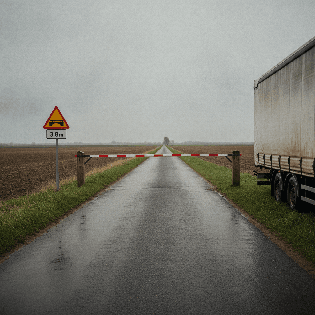
Bridge strikes are expensive, embarrassing, and — in a lot of cases — entirely preventable by people who aren't in the cab at the time. I know this because I had one in 2018. A driver took an unplanned diversion on a B-road in Lincolnshire, the sat-nav sent him straight at a 3.8-metre railway bridge, and the trailer roof came off two inches.
Nobody was hurt. The vehicle got back to the depot on a low-loader. Network Rail sent a bill. My insurance handled most of it. But the conversation that followed — with my traffic commissioner, with my insurer, with Network Rail — wasn't about the driver. It was about me, and whether I had a route risk assessment process that could have prevented it.
I didn't. Not really.
The UK has no maximum height limit for HGVs
This surprises most operators the first time they hear it. Unlike width (2.55 metres for standard goods vehicles) and length (various limits under the Construction and Use Regulations 1986), UK law doesn't set an absolute maximum height for HGVs. There's no statutory upper limit in the Construction and Use Regulations.
What the law does require — through the Highways Act 1980, the Traffic Signs Regulations and General Directions 2016, and common law duty of care — is that operators don't send vehicles onto roads they can't safely traverse. A height restriction sign is legally enforceable. Driving under a bridge that's signed at 3.5 metres in a 4-metre-high vehicle is a criminal offence, not just a civil claim.
Where height restriction signs sit on a road
The standard bridge height warning is a triangular warning sign — white triangle, red border — showing the bridge clearance in feet and inches (and sometimes metres). This appears on the approach to the bridge, usually at a distance sufficient to allow an HGV to stop and consider alternatives.
The mandatory restriction sign — red circle with the measurement inside — means no vehicle exceeding that height may pass. This is the legally enforceable marker. Ignoring it is a criminal offence under the Road Traffic Act 1988 and the Traffic Signs Regulations.
The warning sign doesn't have the same legal force as the prohibition. But a driver who sees a warning and proceeds without being certain they're within clearance is taking a calculated risk — with your O-licence, not just their own career.
The sat-nav problem
Consumer sat-nav and many fleet telematics routing systems will warn about low bridges if they're in the map database. The problem is that the database isn't complete. Network Rail alone manages around 20,000 bridges, and rural road height restrictions aren't all captured in commercial mapping data.
Even when the data exists, it only helps if the driver follows the prescribed route. My driver in Lincolnshire had been diverted by a road closure sign. The diversion route wasn't in his route plan. His sat-nav recalculated onto the B-road without flagging the bridge. He followed it.
The lesson isn't "use better sat-nav." It's that routing systems don't replace route risk assessment. They support it, imperfectly.
Operator obligations: what the Traffic Commissioner expects
An O-licence operator has an undertaking to operate vehicles safely. That's broad, but DVSA and traffic commissioners interpret it as requiring that operators plan routes appropriately for the vehicles they're running. That means knowing the height of your vehicles, knowing the route, and having a system for communicating height-critical restrictions to drivers.
For regular routes, the expectation is that the route has been assessed and any restrictions are documented and briefed to drivers. For occasional routes, there should be a process — checking the HazChemEx database, using a bridge-safe routing tool, calling the relevant authority — before a vehicle goes somewhere new.
What's not acceptable is sending a 4.3-metre high vehicle on an unassessed diversion and hoping for the best. The Traffic Commissioner doesn't take "the driver should have known" as an answer when the question is why the route wasn't risk assessed.
What your driver needs to know before they go
Every driver should know:
- The height of their allocated vehicle — the total height including refrigeration unit, roof spoiler, or any body-mounted equipment. The Ministry plate records GVW; it doesn't tell you the vehicle's height. That needs to come from the vehicle spec sheet or a physical measurement
- What to do if they encounter a low bridge warning they haven't been briefed on — the answer is stop, turn around if safe, call the depot before proceeding under any bridge they're uncertain about
- That sat-nav compliance is not the same as route compliance — following a sat-nav into a bridge is not a defence
The height measurement should be part of your driver induction, not an afterthought. And it needs to be accurate. Some drivers spend years unsure how high their vehicle actually is.
Network Rail and what happens after a strike
Network Rail's cost recovery process for bridge strikes is well established. If your vehicle hits a railway bridge, Network Rail will inspect the bridge, assess the damage, and send a bill. That bill can run into tens of thousands of pounds for a struck arch bridge that needs structural assessment and repair.
Your insurance typically covers this. But a bridge strike also goes to your OCRS — the Operator Compliance Risk Score — and to the Traffic Commissioner if Network Rail files a report with DVSA, which they do routinely. It's not invisible.
Network Rail publishes a bridge strike prevention guide and operates a hotline for operators. Getting on their register — confirming your known routes and vehicle heights — costs nothing and can reduce enforcement attention after an incident. Some operators don't know this service exists.
The route risk assessment I should have had
What I built after 2018 was straightforward. For every regular route, the route file contains the vehicle's height, the bridge heights on the route, and the documented alternative if a closure occurs. For new routes or one-offs, the driver gets a height briefing and an instruction: if diverted, call before proceeding on any road not in the original plan.
It's not complicated. It's the kind of thing that feels obvious once you've had the incident, and invisible until you do. My vehicle's height is now on the dashboard laminated card next to the operator disc. It's the first thing any driver should know when they're behind the wheel of an HGV.